Native American Tribes Map: Find Whose Homeland You Call Home
A Native American tribes map shows you something most road maps leave out: the nations that cared for this land long before state lines existed. Start here to see where tribes lived, where they live now, and how a changing climate is reshaping their homelands.
Why a Native American Tribes Map Changes How You See the Land
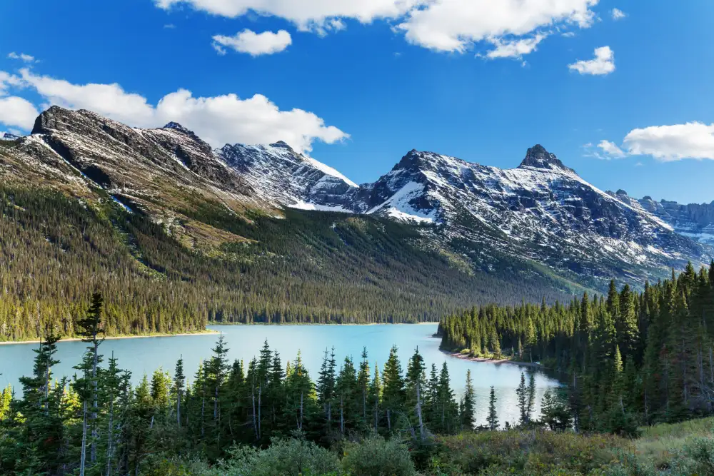
Every town, park, and farm in the Americas sits on Indigenous land. A map helps you put names, languages, and histories to the ground under your feet.
It also shows you why climate change is personal for Native nations. When rivers shrink or wildfires spread, the impact lands on communities whose culture is rooted in one specific place.
- See the traditional territories of hundreds of nations
- Spot the difference between historic homelands and modern reservations
- Connect tribal regions to the climate risks they face today
- Find a starting point for learning about your local tribe
How to Read a Map of Native American Tribes
Tribal maps can look busy at first. These three steps help you make sense of them fast.
1
Step 1: Search Your Own Location
Type in your town or zip code first. You will likely see several overlapping nations, because homelands were shared, traded, and shifted over centuries.
2
Step 2: Compare Past and Present
Historic territory maps show where nations lived before forced removals. Reservation maps show where many communities live today, often on a small fraction of their original land.
3
Step 3: Go Straight to the Source
A map is only a starting point. Visit the official website of each tribe you find to learn how that nation describes its own history, language, and land.
How Climate Change Is Reshaping Tribal Homelands
Many Native nations were moved onto land that is drier, hotter, or more flood-prone than their original territory. That makes them some of the first communities to feel climate shifts.
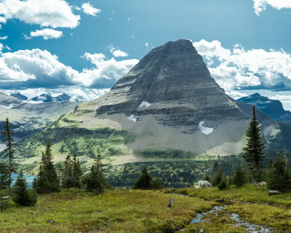
In the Northern Plains, the Blackfeet Nation has faced drought, shrinking glaciers, and wildfire smoke
In the Southwest, Navajo and Hopi farmers adapt to long dry spells and failing springs
In Alaska, Native villages deal with thawing permafrost and coastal erosion
In the Pacific Northwest, warming rivers threaten the salmon runs tribes depend on
Tribal knowledge is also part of the solution. Native land stewards have tracked seasons, plants, and animals for generations, and that insight now guides fire management, water planning, and habitat restoration.
Beginner Guides to Get You Started
You do not need to be an expert to learn something meaningful today. These guides break big topics into simple, friendly steps.
Biggest Native American Tribes
Meet the largest nations in the United States by population, from the Cherokee and Navajo to the Blackfeet and Choctaw.
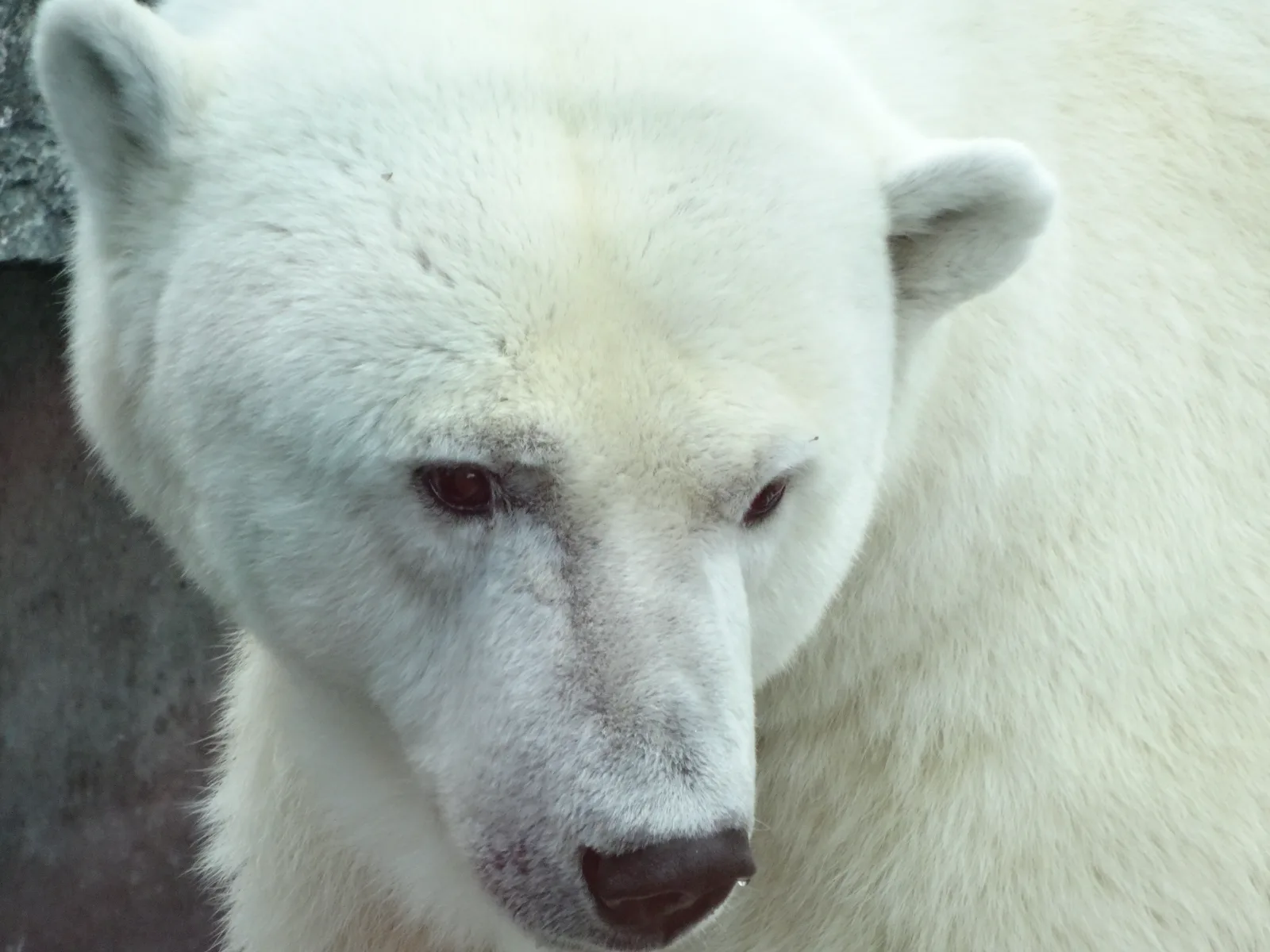
How Does Climate Change Affect Animals
Learn how warming temperatures change migration, food sources, and survival for the animals tribal cultures hold sacred.
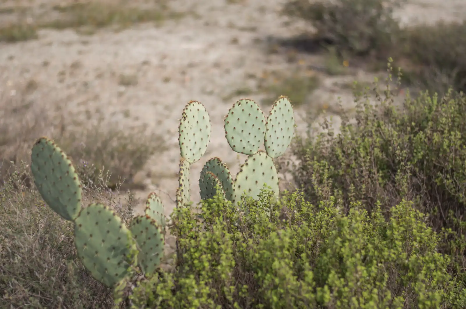
Drought Tolerant Plants
Discover native plants that thrive with little water, plus how Indigenous farmers have grown food in dry country for centuries.
Native American Tribes Map FAQ
Quick answers to the questions beginners ask most.
How Many Tribes Are There in the United States?
The U.S. federal government recognizes 574 tribal nations. Many more tribes are recognized by states or are still seeking recognition.
Is a Tribal Map Exact?
No map is perfect. Borders were often fluid and shared, so treat any map as a guide and check details with the tribes themselves.
How Can You Find Out Whose Land You Are On?
Search your address on an Indigenous territory map, then look up each nation listed. Local tribal offices and cultural centers are great next stops.
Why Do Tribal Lands Face Bigger Climate Risks?
Many reservations sit on land with limited water and few resources for adapting. Strong ties to one place also mean tribes cannot simply move when conditions change.
Start Exploring the Land Beneath Your Feet
Open the Native American tribes map, search your location, and take your first step toward knowing the nations and climate stories behind it.